
The year to date
Just for kicks, here’s everywhere I have been in my local area since the first of the year. Yeah, I know every nerd with a GPS receiver records their tracks around town, but I outnerd them by breaking it down by mode of transportation (and by doing it without GPS).
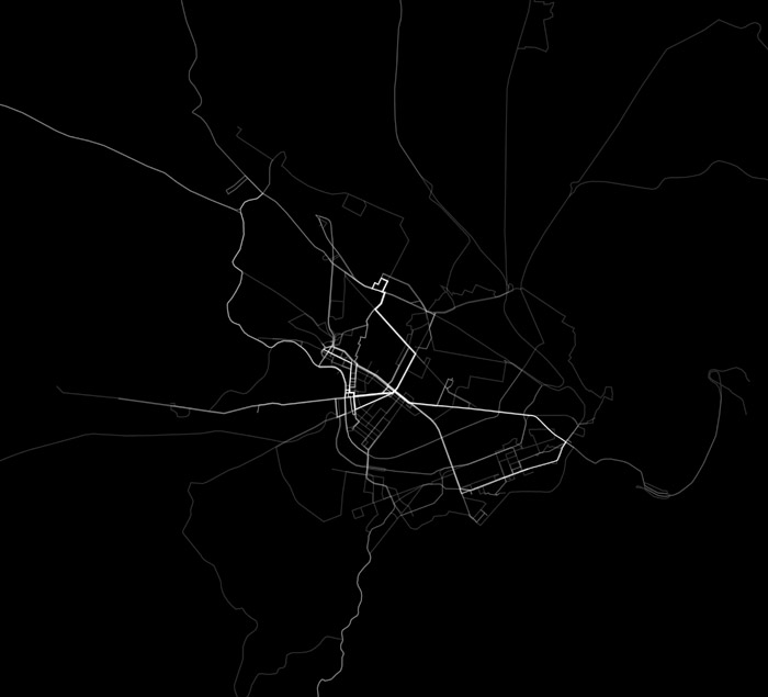
All movements, all modes of transit. Brighter means more frequent travel over a given path.
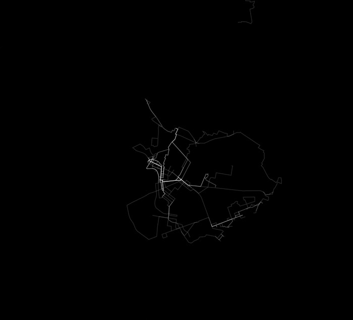
By foot. Same map extent.
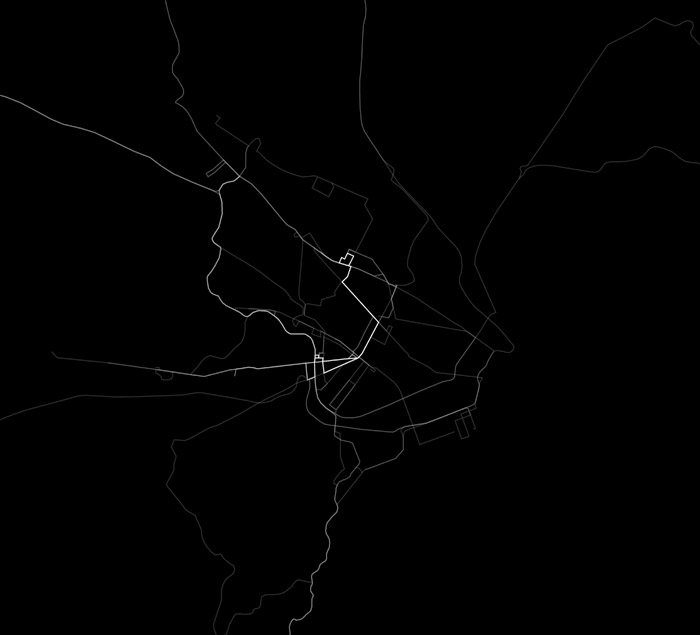
By car.
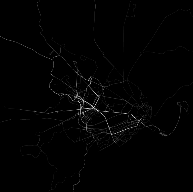
By bus.

By train.

Sweet animation to come following more months of data collection.
Tagged Boston, map projects
12 Comments