The “Pacific Islands” are actually just a myth

So when you map them, go ahead and omit most of the Pacific. It’s empty anyway.

Pacific Islands map

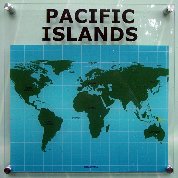
The same goes for Terra Australis, but it is customary to retain an “Antarctica” label as a joke.

Seen at Franklin Park Conservatory, Columbus, Ohio.

Tagged , ,

7 Comments

  1. Also, shouldn’t the latitude lines be getting closer together as they head north – or did they just lie a generic grid under the map?

    Mark
    2 February 2010 @ 2:08pm

  2. It appears to be an equirectangular projection, which is does produce a simple square grid of latitude and longitude lines.

    But it’s an ugly map projection, so let’s complain anyway.

    Andy Woodruff
    2 February 2010 @ 2:41pm

  3. You’re looking at it all wrong. Asia, Europe, Africa, Australia, and the Americas are really nothing more than islands in the Pacific. And Antarctica is nothing more than a seamount beneath the Pacific’s southern ice cap.

    Brad
    2 February 2010 @ 11:49pm

  4. I’m more alarmed by the Asia/North America super continent.

    Joel
    5 February 2010 @ 8:34am

  5. Racist!

    Andy Woodruff
    5 February 2010 @ 9:50am

  6. Looks like most of Alaska is missing too.

    ‘Here be Palins…’

    David
    8 February 2010 @ 1:17pm

  7. It’s a “Pacific Island map” centered around the Atlantic Ocean. The middle swath of the Pacific isn’t even on here, if you connected both ends you’d crush Hawaii! As a Kauai born and raised cartographer I’m outraged! 😉 And whats with Papua New Guinea? Why does it get it’s own color?

    David Medeiros
    11 February 2010 @ 1:12pm